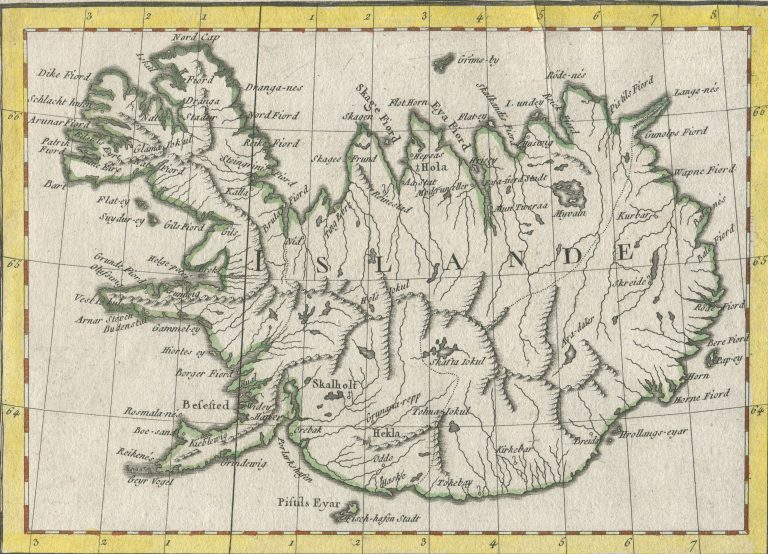
Inset map on Les Royaumes de Suede et de Norwege[…], In Atlas universel. This is one of two versions of Iceland to appear as inset on this map. This one was the new version of Iceland, but the other was used in later publications.
[untitled Iceland]
YEAR 1756
Technical data

Iceland
1756
Gilles Robert de Vaugondy
20 x 14,3 cm.