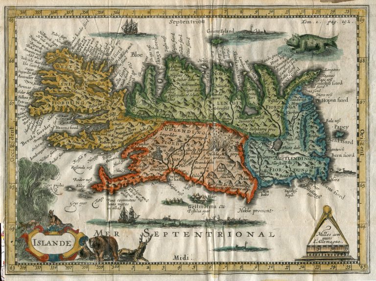
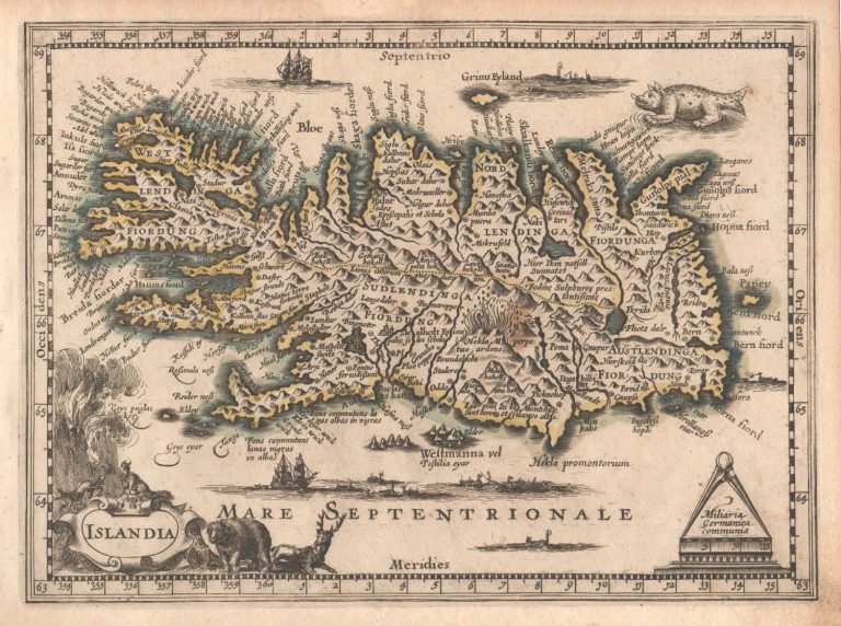
Henri du Sauzet’s map from 1734, Islande, also published in a Latin version, Islandia, in 1738. Du Sauzet actually reused the plates from Cloppenburg, while adding some decorations. These examples deserve a mention as they are quite interesting in their additions, which range from animals in the lower left corner to whaling scenes and a monster from Ortelius. The whaling scenes reflect that by that time the seas around Iceland had become popular hunting grounds for European whalers.
Islande
YEAR 1734
Technical data

Iceland
1734
Henri du Sauzet
18,2 × 25 cm.
