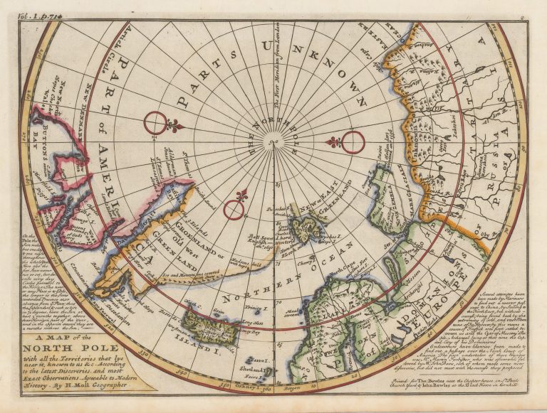
Over 130 years later, Novaya Zemlya remains as left by Barents in 1597. Spitzbergen has got its proper shape, roughly, but East of it is “New or East Greenand”. Iceland is of a shape introduced by Moll and carried on to his cartograhpic decendants, Emanuel Bowen and Thomas Kitchin. It looks like he is using Carolos ror the “body” of the country, but perhaps some sea chart for the Westfjords.