An Italian version of the map of Bellin which was actually made by Laurent but a copy of Anderson’s map. This map being by Bellin needs exploring, this is based on information from the seller. The reference in the title to Bellin, actually makes it unlikely that he had any other role than creating the original which was used as a model. Interestingly, Iceland and Greenland look more like they appear on Carte Réduite des Mers du Nord, then on the Bellin/Laurent map of the corresponding area.
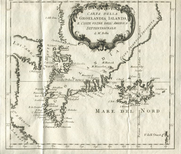
Carta della Groenlandia, Islanda e Coste vicine dell’America Settentrionale di Mr. Bellin
YEAR 1785
Technical data
Iceland, Greenland
1785
Jacques-Nicolas Bellin
20,6 x 23 cm.