In the title it is said that the map is drawn and engraved by Laurent. It is though equally contributed to Jacques-Nicolas Bellin, presumably his boss at the time. Andersons map from 1746 is used as the model.
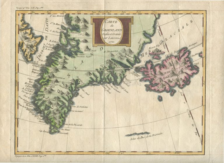
Carte du Groenland
YEAR 1770
Technical data
Iceland, Greenland
1770
Pierre Laurent, Jacques-Nicolas Bellin
19 x 25,1 cm.