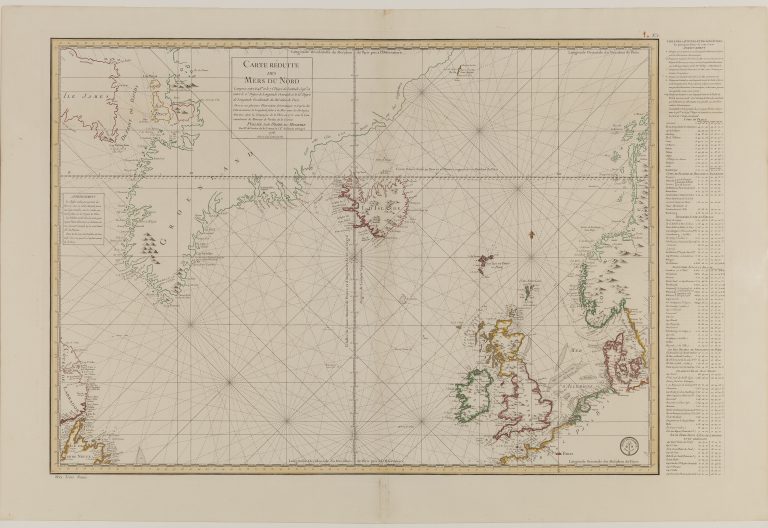
In 1771, the French government decided to send a scientific expedition to Iceland. The objective of the mission, which was under the command of Verdun de la Crenne, was to survey the North Atlantic. A book was made about the expedition, accompanied by a map. The expedition had camped in the Westfjords and made surveys there. They concluded that it was correct to move the western part of Iceland East. They did not, however, move the East accordingly. The results can be seen on this map, Carte Reduite des Mers du Nord dated 1776. It is usually credited to Bellin, but sometimes la Crenne himself or Petit is named, the latter being the Depot engraver mentioned in the last chapter, who is named on the map itself. Iceland was now about equally wide as it was high, having lost roughly half of its area.
Development in cartography is not a straight line, from the most primitive maps to the modern shape and position. The pattern is more of stagnation or slow development for a period, followed by a shift in knowledge. This shift can be in the wrong direction. This is what happened in this case.