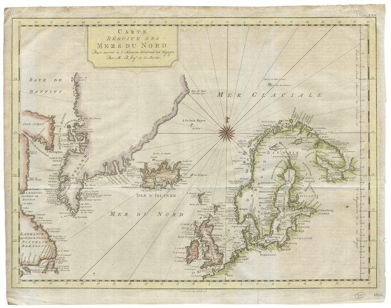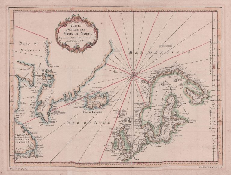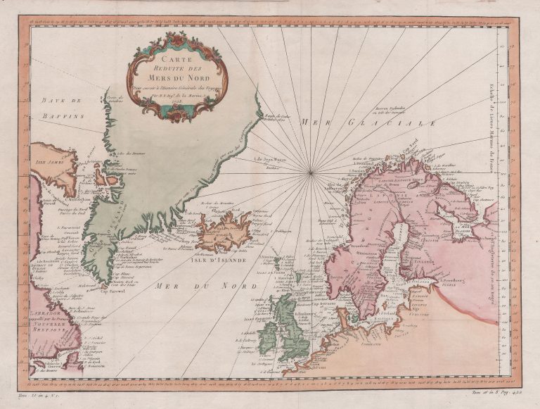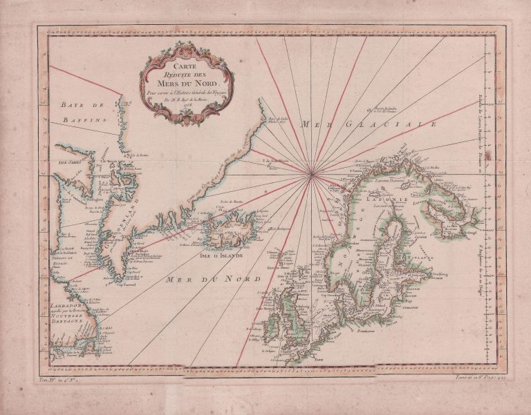
This map first appeared in Histoire Generale des Voyages in 1758 and again in an atlas that accompanied Le Harpe’s publication of same in 1780. Iceland is very different from how it was depicted on other maps credited to Bellin and published at the same time. The reason is that this map originated in fact before the publication of a new shape of Iceland in 1752, by Niels Horrobow.
There is a second state of the map, published in 1776. The title shield has been changed and the compass rose. From that same year is also another map with the same name. It is the La Crenne map, sometimes credited to Bellin as well. So there are two maps, both which can be contributed to Bellin, with the same name and from the same year.