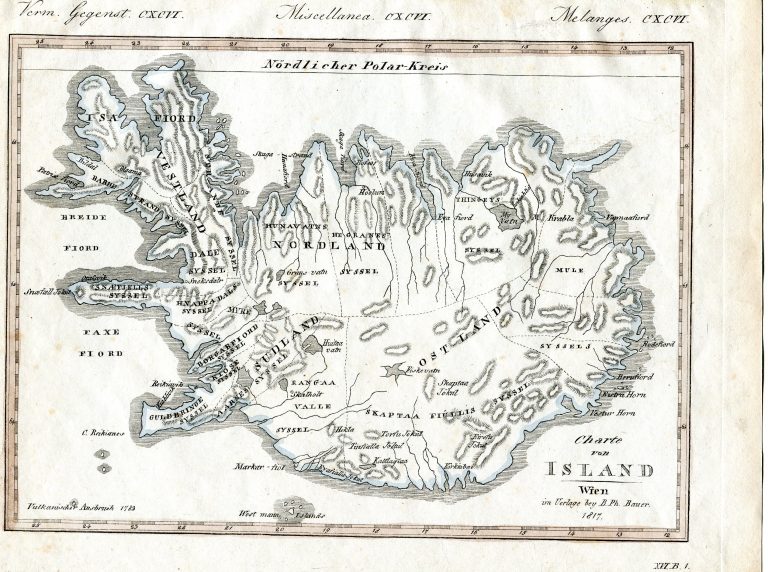
This map is either based on the map of Mackenzie from 1811 or from a mutual source. On a map from the same institution, the Weimar Geographical Institution, there is a very similar inset map of Iceland, titled Island nach Mackinzie. The implications can be twofold. Firstly that Mackenzie was the actual source for the map from 1815. And secondly that they by now realized that something was wrong with it. In Bilderbuch für Kinder
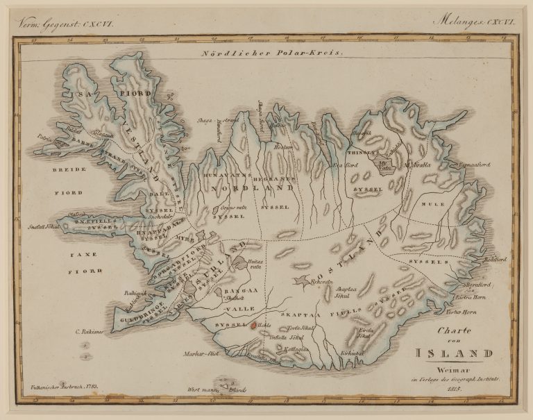
Charte von Island
YEAR 1815
Technical data
Iceland
1815
Friedrich Justin Bertuch
15,7 × 21,5 cm.