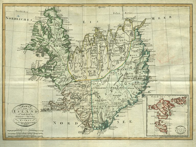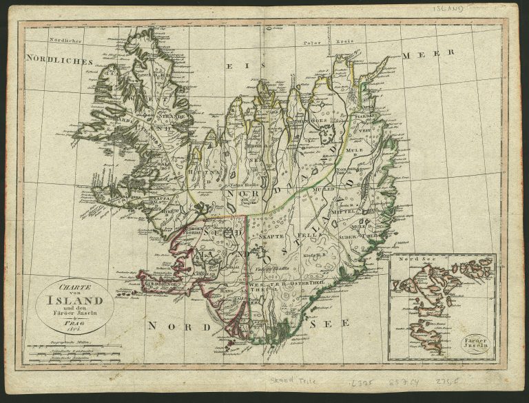
This map is quite similar to another one, slightly larger, which Reinecke published in 1800 and 1804. The shape of Iceland is based on the new measurements of the French expedition led by Verdun de la Crenne, in 1771.
It appeared in Allgemeiner Hand-Atlas of Geographische Institut in Weimar. Was published a year later in Prague, with changed place and year.