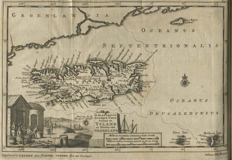
In 1706 Van der Aa re-published the writings of one Dithmar Blefken, who (claimed to have) traveled to Iceland in the year 1563. The book is accompanied with a map of Iceland, D. Blefkenius Scheeps-Togt Gedaan na Ysland en Kusten van Groenland. Van der Aa’s map is not very impressive. The place names seem to come from Ortelius’ Islandia, which can lead to the assumption that Ortelius was van der Aa’s model. Another option is that it was taken from a bigger map, where Iceland would have been shown in small-scale, perhaps a map that utilized Ortelius’ shape. A good candidate might be Nicolaus Visscher’sEuropa delineate […] from 1680. This is what happens when one makes a map feature that is shrunk down to a few centimeters and someone else then comes and stretches it to a much larger size. A French version appeared in La galerie agréable du monde, 1729.
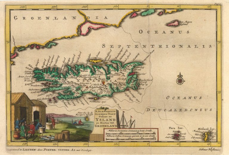
D. Blefkenius Scheeps-Togt Gedaan na Ysland en Kusten van Groenland
YEAR 1706
Technical data
Iceland
1706
Pieter Van Der Aa
14,8 × 22,5 cm.