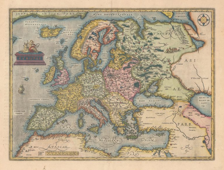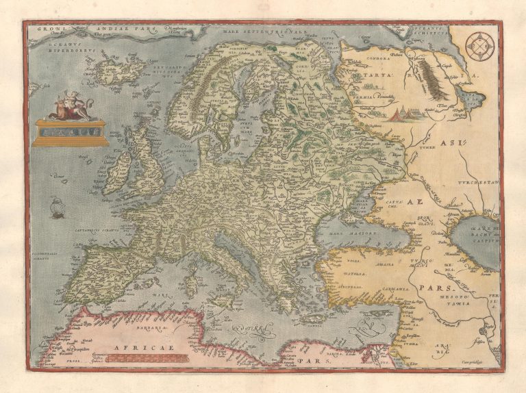
This classical map of Europe appeared in Ortelius’ Theatrum Orbis Terrarum, the first modern atlas of maps. As many other of his map, this one would be copied by other cartographers. This comes to some extent from the fact that Ortelius researched extensively available material for his maps and usually quoted them. For example, for the shape of Iceland on this map, he is using Gerard Mercator’s maps of Europe (1554) and the world (1569).
There is a nice title cartouche depicting Europa on the back of Zeus disguised as a bull. It is placed where other cartograhpers were putting Frisland at this time. A clever solution to that problem?
The map exists in two states, distinguishable by the way Africae Pars is written, the later state being in cursive script.