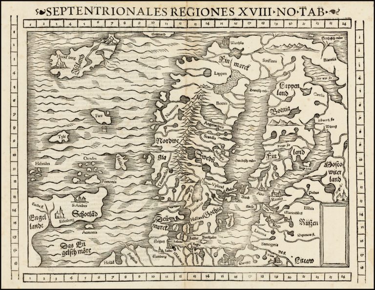
This is Münster second map of the Nordics, following his Schonlandia in 1540. It is much better than the previous map and takes into account information from Olaus Magnus’ Carte Marina from 1539.
According to William B. Ginsberg, there are 16 variations of this map, unintentional differences between the plates between the different printings. But only one state.
The map was first published In Cosmographia in Basel.
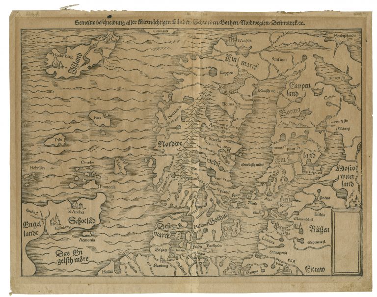
Gemeine beschreibung aller[…]/Septentrionales Regiones[…]
YEAR 1544
Technical data
Nordics
1544
Sebastian Münster
25 × 34,5 cm.