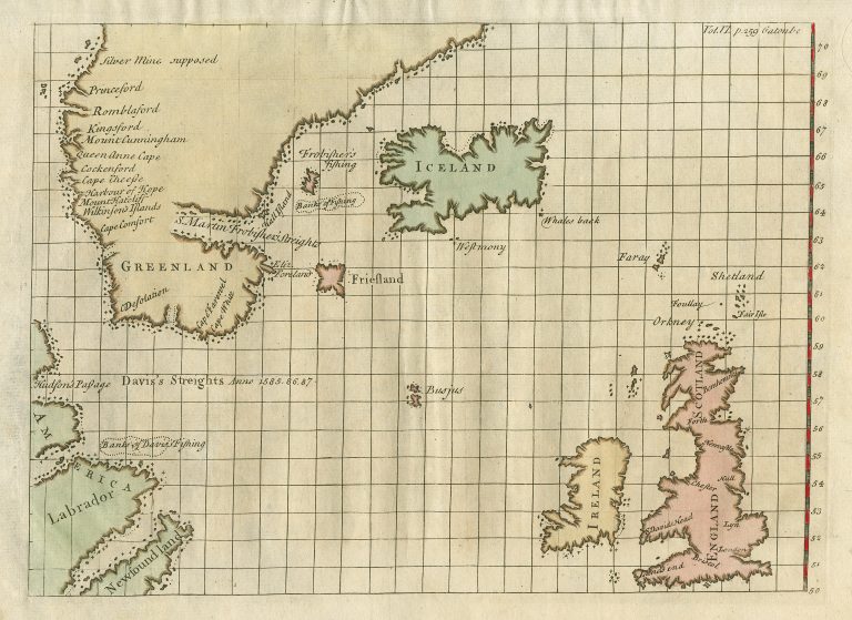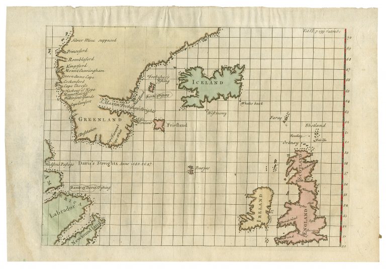
It is not known who made this map, but it is often credited to John Gatonbe, who was a member of the last Greenland voyage of James Hall, in 1612. His name appears in the upper right corner. It is also credited to J. Churchill, who published J. Churchill í A Collection of Voyages and Travels IV., where the map first appeared in 1732.
Iceland has a curious shape. It looks like Snæfellsnes, the peninsula in the middle of Iceland’s left coast has merged with the Westfjords. Reykjanes, the other peninsula has swollen considerably. Friesland (sic) is there as well as another non-existent island between Iceland and Greenland.