Appeared in The Imperial Atlas of Modern Geography, by W G Blackie. Blank verso.
The map is made using lithograph method and printed in the colour. By this time the maps were not hand painted anymore.
YEAR 1860
Appeared in The Imperial Atlas of Modern Geography, by W G Blackie. Blank verso.
The map is made using lithograph method and printed in the colour. By this time the maps were not hand painted anymore.
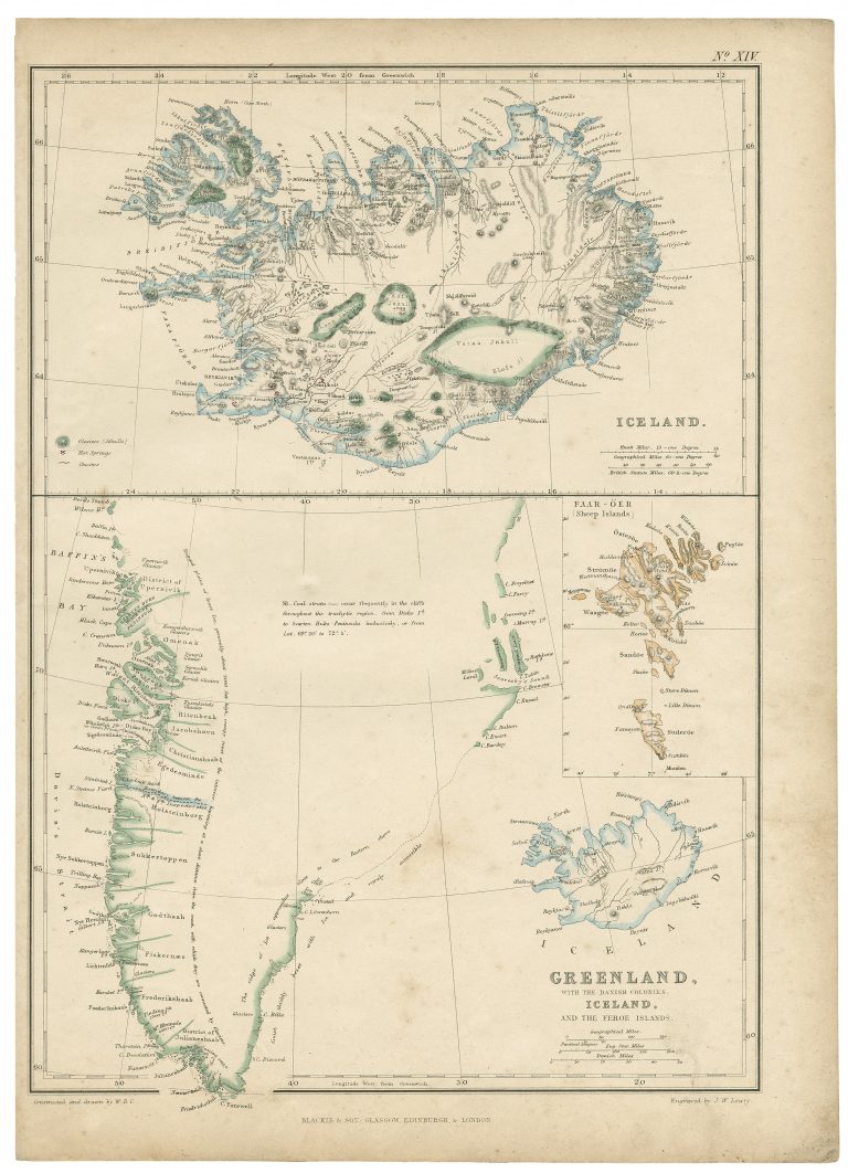
Greenland, Iceland, Faroe Islands
1860
J W Lowry
Blackie & Son
37 x 27 cm.