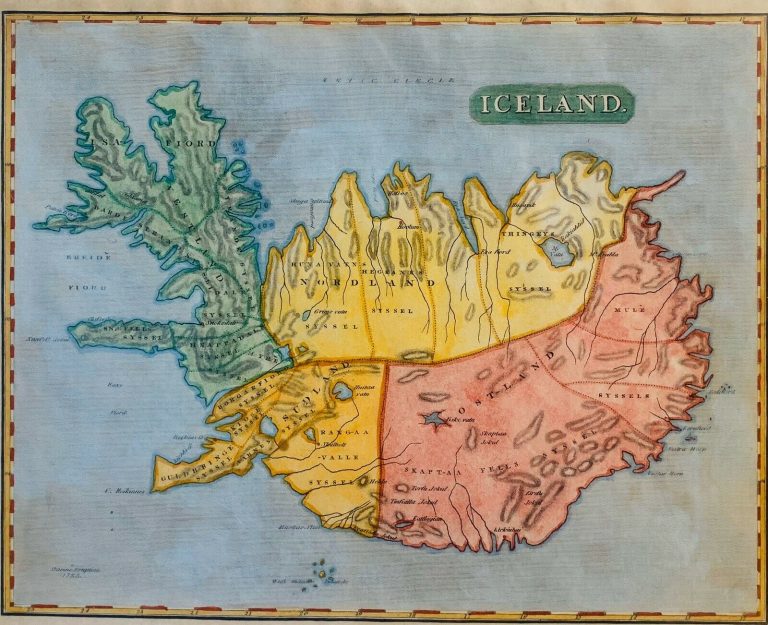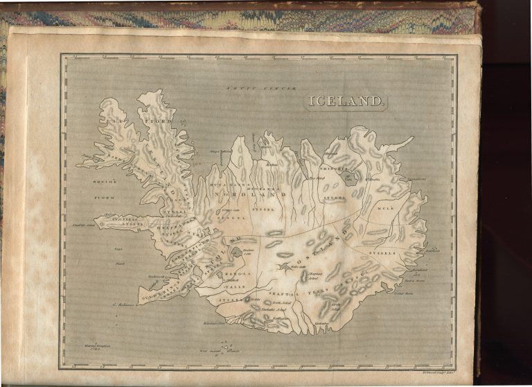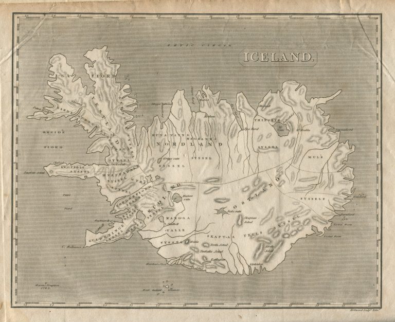
The map appeared in Travels in the Island of Iceland during the summer of the year MDCCCX, by Mackenzie. The general shape of Iceland is after Knoff. The Westfords have been through an overhaul. The westernmost part is a narrow peninsula and the middle part has acquired a bump of some sort. Mackenzie did make up for this ugly map with some amazing pictures, based on his own drawings, for example of the volcano that became famous in 2010 for interrupting air traffic, Eyjafallajökull.