Map from Stieler´s handatlas.
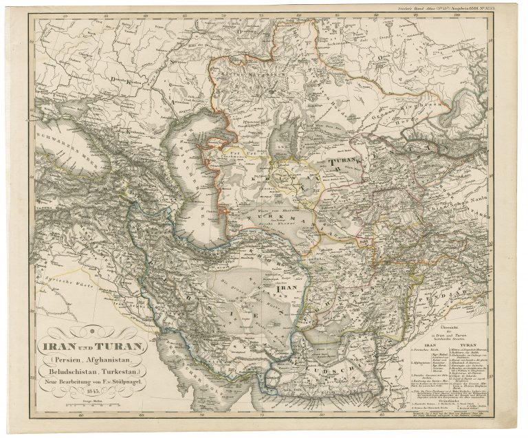
Iran und Turan
YEAR 1847
Technical data
Central Asia
1847
Friedrich von Stulpnagel
Justus Perthes
34,4 x 39,7 cm.
YEAR 1847
Map from Stieler´s handatlas.
Central Asia
1847
Friedrich von Stulpnagel
Justus Perthes
34,4 x 39,7 cm.