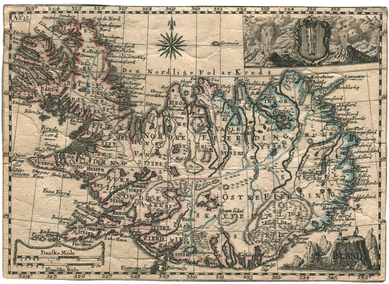
Rare Danish map of Iceland. I have only managed to find one another copy of it, at the Danish Royal Library (http://www5.kb.dk/maps/kortsa/2012/jul/kortatlas/object67282/da/). The information there is limited, mainly that it is from 1770. This could be an approximation guessed on the information contained on the map and the design, as I would have placed it at around this time.
The map has the number 15 in the upper right corner, indicating it could have come from an atlas. It might also be an inset on a bigger map.
On an inset map there is a picture of geysers.