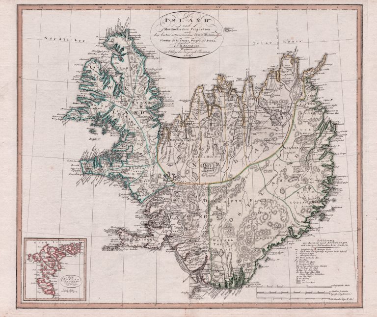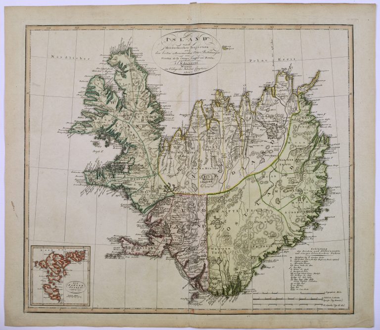
The shape of Iceland on this map is based on the new measurements of the French expedition led by Verdun de la Crenne, in 1771.
Published in Allgemeiner Hand-Atlas of Geographische Institut in Weimar. Same map appears in 1804, with only the year changed.