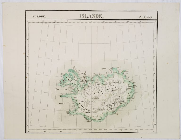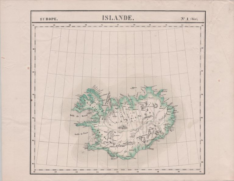
This map is in the interesting scale of 1:1,641,836. It is the first lithographic map of Iceland and appeared in the first atlas using this technique, Atlas universel. This was a new and more effective way to print images which would eventually replace the copperplate engraving. The technique involved drawing an image onto a smooth limestone, covered in fat, wax or oil. Despite the new technique, the interior of the country is still very poorly depicted.