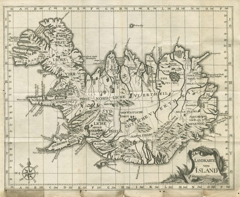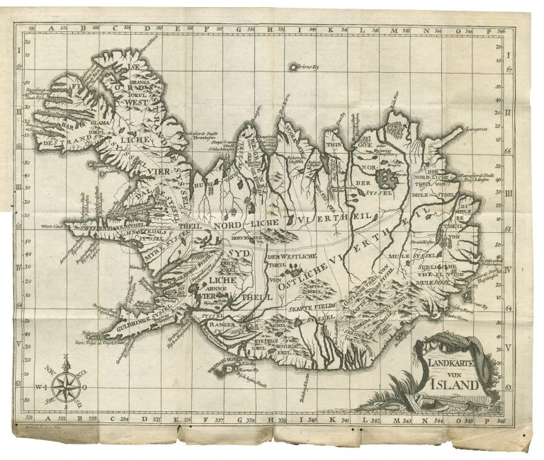
This map appeared in an account of Horrebow’s trips to Iceland, Tilforladelige Efterretninger om Island. It is based on the measurements and map of Thomas Hans Henrik Knoff.
The map does not look like much. It is, however, much more like the geographic reality it is supposed to represent than previous maps and, in particular, an improvement on the maps of the sea chart tradition. The Westfords stretch too far North and the country is a bit too long East to West. There are not as many place names as on the original Knoff maps.
This was actually the first real cartographic advancement since the appearance of the Guðbrand’s map in 1590. The Knof/Horrebow map was based on measurements reached via triangulation and the painstaking work of a team of people with modern equipment over the course of five summers. It is a map based on science.
The book was quite popular and was, in addition to the original Danish, published in German (1753), English (1758), and French (1764). The map was the same in the Danish, English (In The Natural History of Iceland, London 1758) and German (N. Horrebows zuverlässige Nachrichten von Island, 1753) editions, save for the linguistic differences. The map in the French edition is different and is a separate entry.