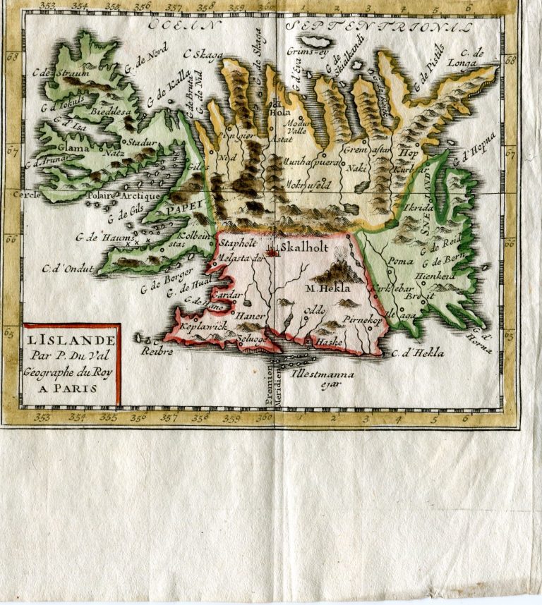
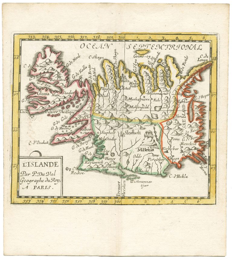
The frst map dedicated only to Iceland to use the Carolos map as the model is Pierre Duval’s L’Islande, from 1663, published in his book Geographiae Universalis. It is a miniature map, but well executed. The same map was redone in Duval’s name in 1731. While trying to copy it exactly, and managing pretty well, the latter engraver misread the “W” in the name Westmannaeyjar as “Ill”. Otherwise, the maps are almost the same. We also see the Duval map redone in the German version of Geographiae Universalis, published 1678−94 by Johann Hofmann in Nuremberg.
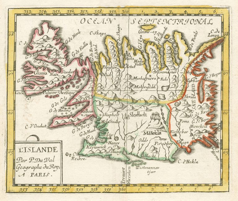
L‘Islande Par P. Du Val
YEAR 1661
Technical data
Iceland
1661
Pierre Duval
10,8 × 13 cm.