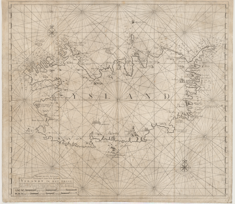
The third chart of the Van Keulen family of Iceland. It is a further retreat into the sea chart tradition, showing Iceland in a way that is more like that shown on other charts. It was likely intended for navigation of fishermen. For the intended purpose it would have been poor indeed, as it is so far from the actual shape of the terra firma. When it comes to the interior, there is not much shown, only the bishoprics, the seat of the governor, Bestad (Bessastaðir), moved from West coast to East, and some mountains. The country is roughly in the right place, which is of course an advantage if intended for navigation. It has an interesting shape, and the Westfords are a bit like a horse’s head. Around the country are dept numbers, particularly off the Westfjords and the Eastfjords. There are many names on the map that are unfamiliar. They are names which the Dutch gave different landmarks.