This map appeared in “Gerardi Mercatoris Atlas sive Cosmographicae” (Mercator-Hondius Atlas), from 1606 onwards. The atlas was published only after Mercator died and the publishers continued to add new maps. His name was so strong that it was better for sales to continue using it.
This map is quite nice and decorative, for example the strapwork on the title shield.
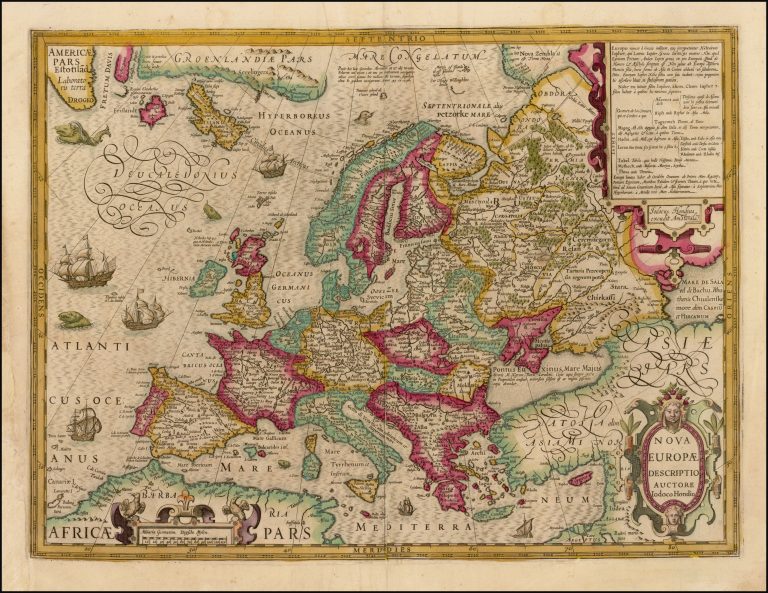
Iceland has an interesting shape. It seems to be closer to the shape credited to Joris Carolos, published shortly before 1630, than to the currently accepted shape of Ortelius/Mercator (or Guðbrandur Þorláksson, the likely originator of that shape). Yet it is stretched way too much West-East, like the older maps. Butthe country is small, so one should perhaps not read too much into it.