The Royal Danish Academy of Sciences decided to get two Icelanders who were studying in Denmark to go to Iceland and continue the work of surveying the country, Eggert Ólafsson and Bjarni Pálsson. They were in Iceland from 1752 to 1757. The result was the most extensive work on Iceland to date. Shortly thereafter, Bjarni was appointed Country Doctor in Iceland, but Eggert drowned.
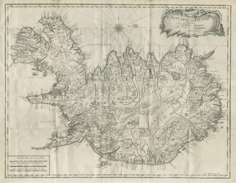
Anyway, Eggert and Bjarni could not finish their work and Jón Eiríksson and Gerhard Schöning were commissioned for the task. A book about the travels and research of Eggert and Bjarni was published in Danish in 1772, In Reise igiennem Island. It is accompanied with this map, based on the Homann map from 1761. The map is dated 1771, but as the book was first published in 1772, the correct first publishing year of the ma is the latter. Delay in printing maps that have been made has caused confusion over how to define the issue date of said maps.
The map is called Nyt Carte over Island, or A New Map of Iceland and credited to Eriksson and Schöning. There is, however, not so much new on this map, at least considering that the colleagues had spent five years traveling around the country. The main new aspect is that the glacier Vatnajökull is finally depicted as a whole, it is not just a scattering of mountains anymore. It also has another name on the map, Klofajökull, an old Icelandic name for the glacier. Also, this is the first time we see Reykjavík on a map of the whole country, spelled here Reikiaviik. And likely the first time Blönduós, my home village in the North of Iceland, appears on a map.
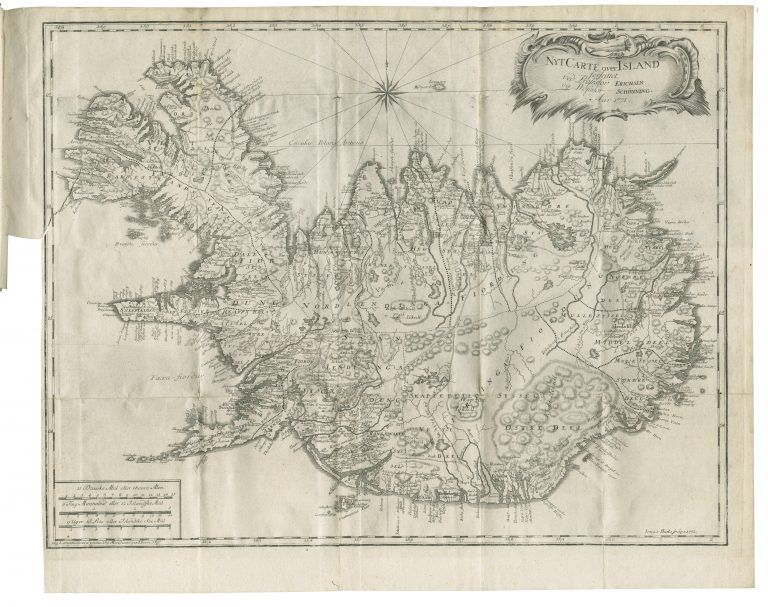
The same map appeared in the German version of the book, 1774-5. The French version (1802) has a different map and a separate entry.