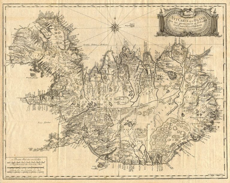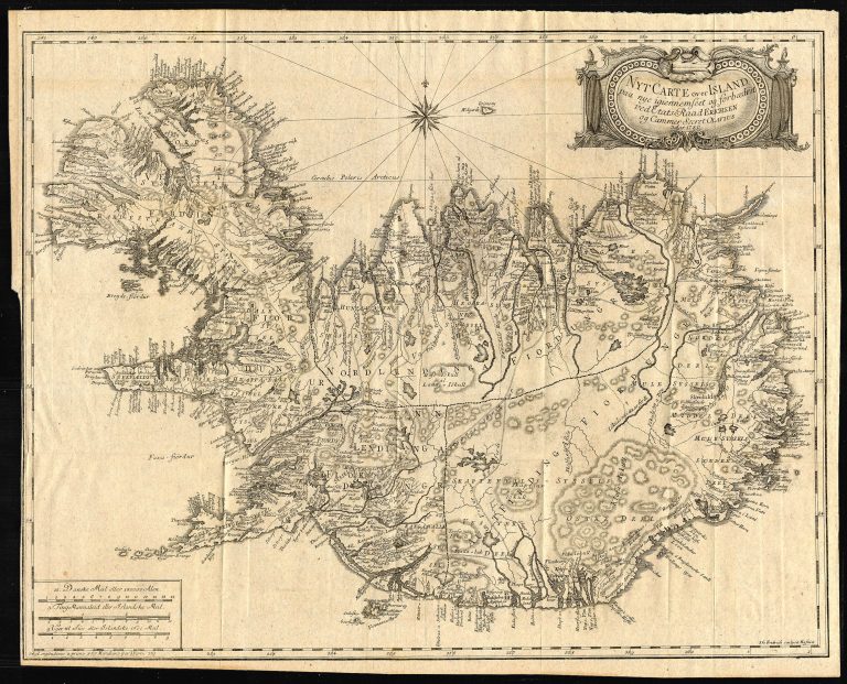
The work of Eggert Ólafsson and Bjarni Pálsson was published in 1772 and contained a lot of details about the nature and way of living in Iceland. This left out economic aspects, which were getting more attention at this time, both in Iceland and Denmark. To improve on this, the Danish Government sent Olaf Olavius (1741−1788) to Iceland, where he spent the summers of 1775−77. The outcome was a book, Oeconomisk Reise igiennem de nordvestlige, nordlige og nordostlige Kanter af Island, published in 1780, with this map. It is mostly the same as as the map with the sama name published in 1772. Olaf’s book was published in German in 1787 and 1805, the map unchanged.