The map was published in Ptolemy’s Geography. Ruscelli believed Zeno‘s story about travel of Zeno brothers to Frisland and Iceland and based his map of Zeno‘ map. There are two states of this map, the second one from 1574. An easy way to distinguish them is that the second “T“ in Septentrionalum appears like an “I“ in the second state.
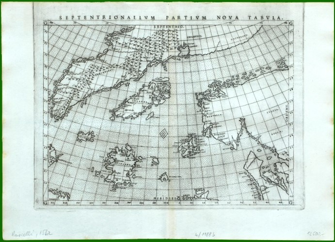
Septentriolanum Pertium Nova Tabula
YEAR 1561
Technical data
Nordics
1561
Girolamo Ruscelli
18,6 × 26,3 cm.