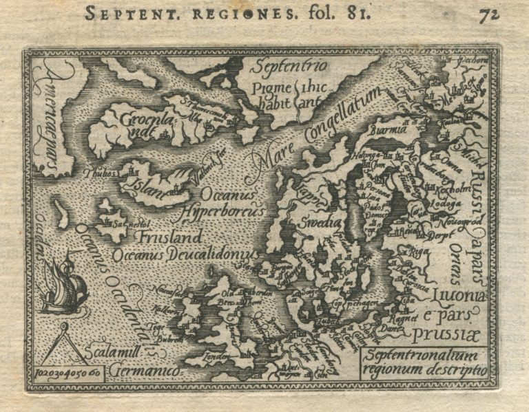
Two distinct kinds of regional maps can be discerned in the second half of XI century. One is the big, elegant and expensive map, such as those by De Jode and Ortelius, while the other is the miniature maps. This divide happened mainly for commercial reasons. The market for big and expensive atlases was limited and so smaller versions soon appeared. There would be three miniature maps published in the name of Ortelius before the end of the century, for example, Septentrionalium Regionum descriptio published by Philip Galle in 1577 in Spieghel der Werelt.
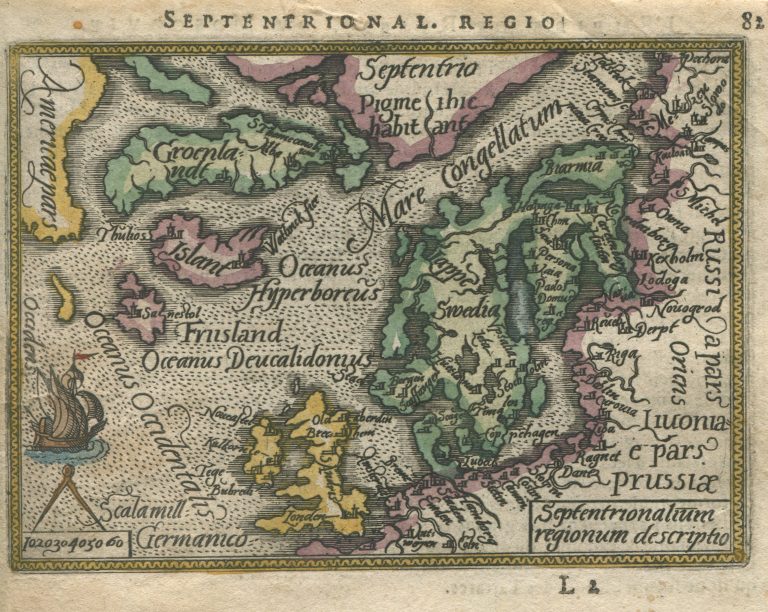
Septentrionalum regionum descriptio
YEAR 1577
Technical data
Nordics
1577
Abraham Ortelius, Philip Galle
7,7 x 10,8 cm.