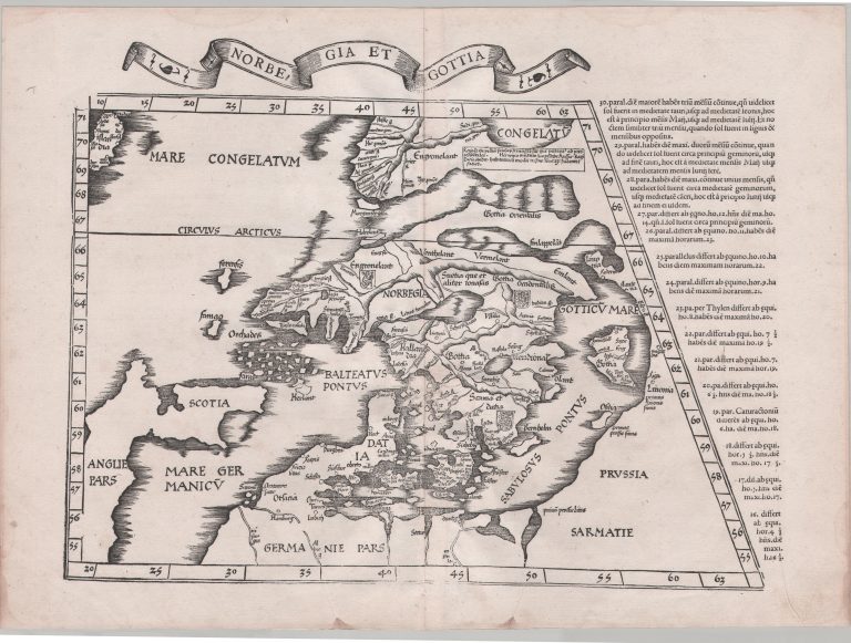
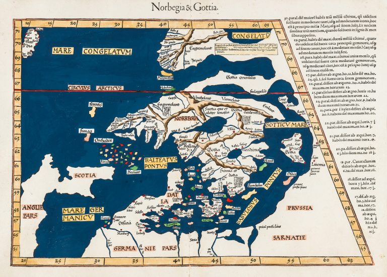
The map was published by Laurent Fries, however, he says himself that it was done by Waldseemüller. The map was republished by others 1525, 1535 and 1541, with different titles but the same features. The map is a woodcut and is very similar, but slightly smaller than the preceding Waldseemüller’s map. The difference in size is down to the map being narrowed on the left side so that the border is vertical. This costs Ireland, but in return makes this map unique, as it is the only map of this area to have this shape.
Tab Nova Nor & Goti
YEAR 1522
Technical data
Nordics
1522
Laurent Fries
Laurenz Fries
30 x 44 cm.