One of the earliest maps of the North pole. Notice the fictional island of Frisland.
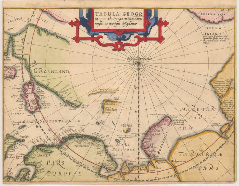
Tabula Geogr. in qua admirandae navigationis cursus et recursus designatur
YEAR 1611
Technical data
North Pole
1611
Jodocus Hondius Sr.
26,7 x 35,6 cm.