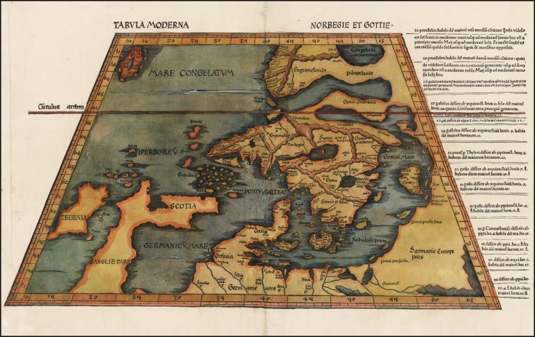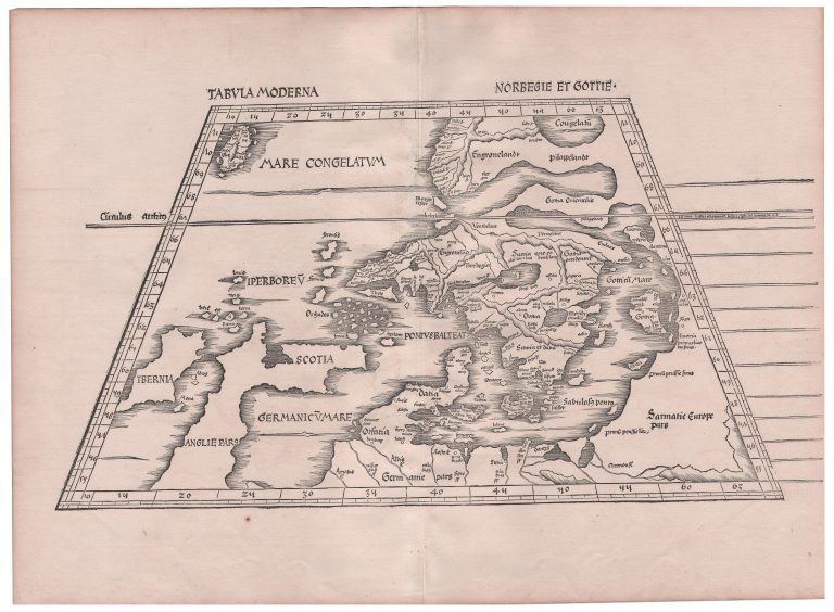
This is the third Nordic map, the first being the Ulm Scandinavia and the second published in Rome in 1507, a copy of it. Again it is a copy of the Ulm with minor changes. It was likely done by Martin Waldseemüller. In this 1513 version published in Ptolemy’s Geography in Strasburg, there is text on each of the lines to the right of the map. The map appeared again in 1520 and in the 1520 version, all but one lines have been removed. This is presumably because the map was made with woodblocks and the letters have been reused in the meantime and the publisher could not be bothered to compile the text again.
The map was published in Ptolemy’s Geography.