This map is from the Rome edition of Ptolemy’s Geography, published in 1507 and again in 1508, using for the first time the copperplate technique (previous maps having been done using woodblocks). This map is a rather faithful copy of the Ulm Scandinavia, even retaining the same title.
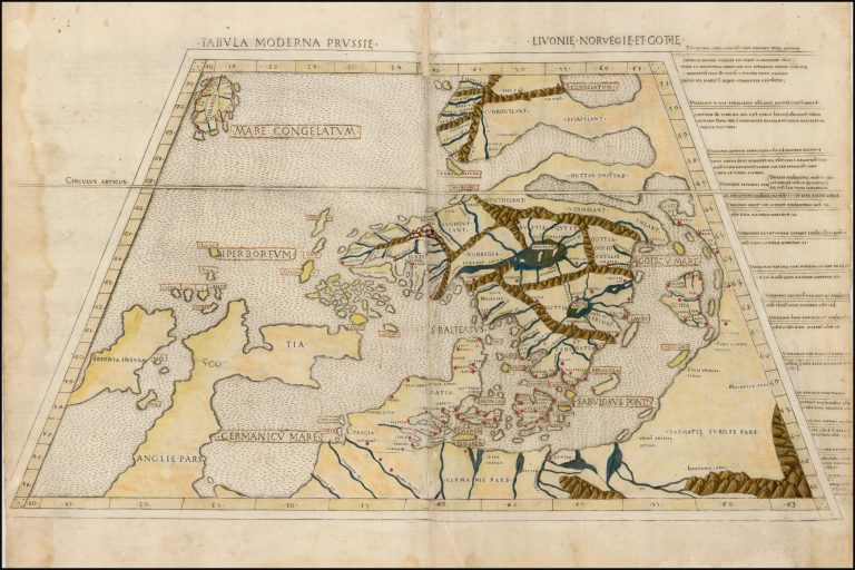
Tabula Moderna Prussie Livonie Norvegie et Gottie
YEAR 1507
Technical data
Nordics
1507
Claudius Ptolemy, Marcus Beneventanus
31,5 x 57 cm.