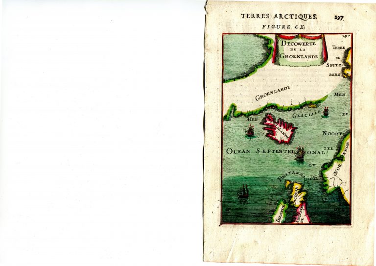
Iceland is in the Carolus-shape. The map seems to suggest that Greenland might be connected to Spitzbergen! From Mallets five volume work published in 1683, Description de l’universe, with maps and descriptions of the whole world. Iceland appears on many of the maps. The books are small folio in size and the maps small, ca. 14 x 10 cm. The book was published in the German language two years later.
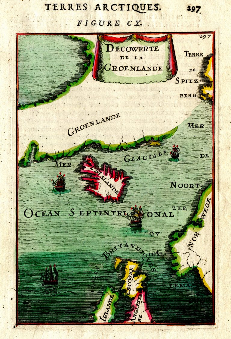
Terres Arctiques, Figure CX
YEAR 1683
Technical data
North Atl.
1683
Alain Manesson Mallet
14,7 × 10,2 cm.