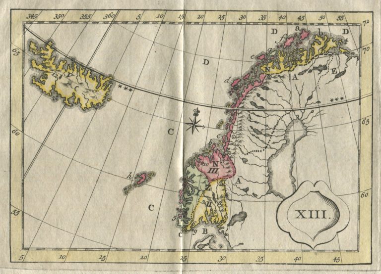
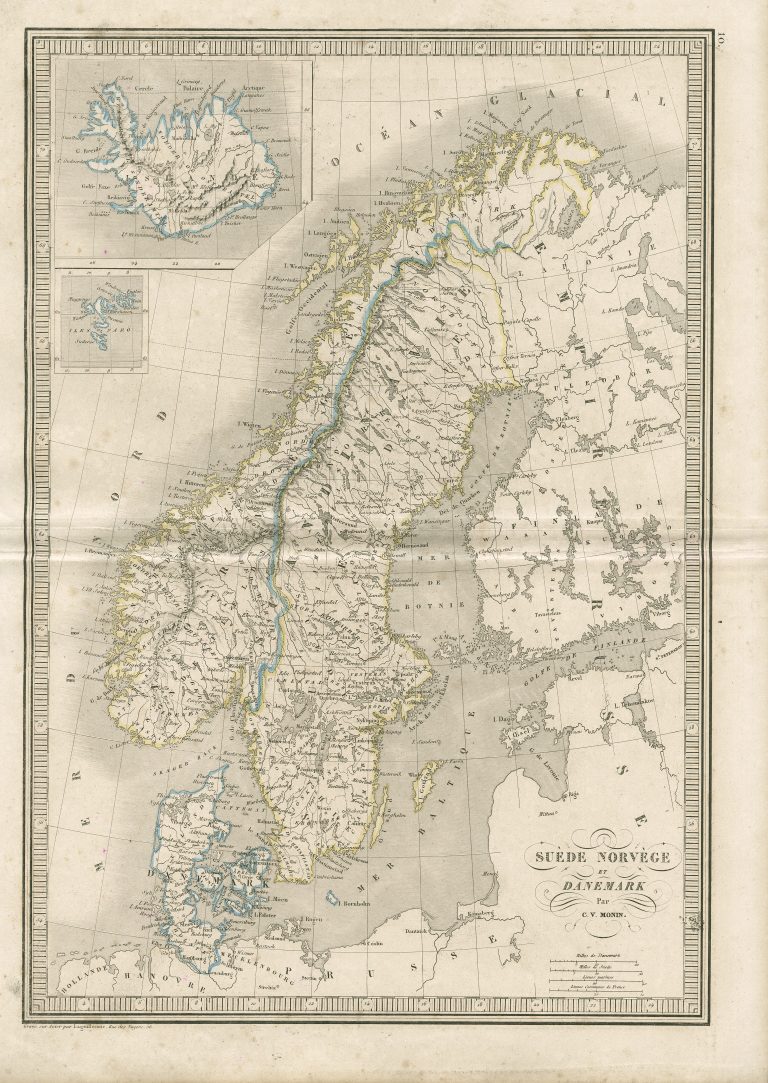
This map is one of several similar maps that would appear in educational atlases, many named Atlas des Enfans, or atlas for children. The map is from a book so names. These maps are charecterized as „blind“ in thet they only show outlines of countries and continents.
The first Atlas des Enfans was published in 1760 and then copied in many countries, I have for exampel such book in Portugese, named Atlas Moderno para uso da Mocidade.
Iceland on the „blind“ maps is the same, outdated shape from sea charts.

