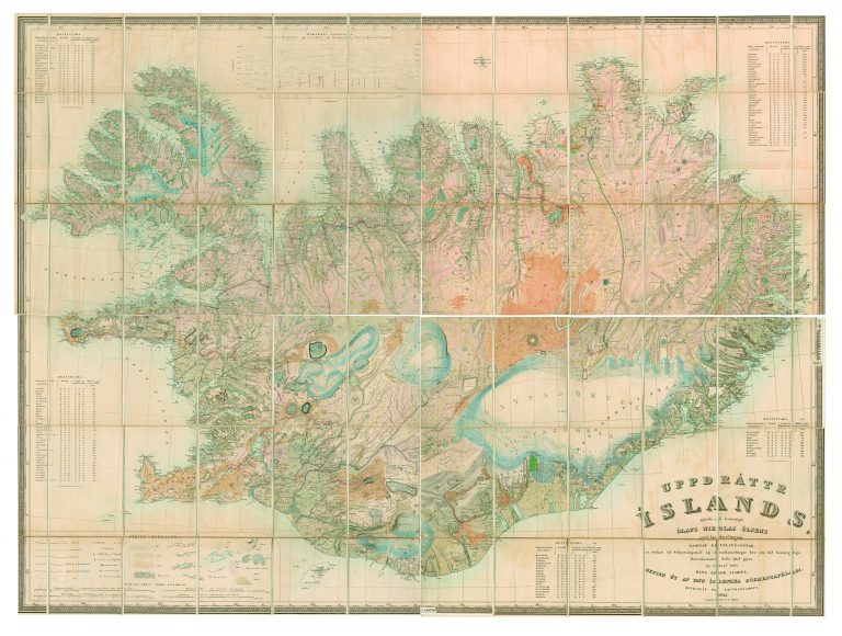
In the years 1831–43, Björn Gunnlaugsson surveyed the interior of Iceland. He also used the existing work as a starting point and traveled extensively throughout most of the country. In some cases, however, particularly in the highlands, he had to rely on the descriptions of people who knew the area. Olaf Nikolas Olsen was given the task of making maps out of Björn’s work. First, he created this huge map, divided into four sheets, each measuring 43.7 x 55.5 cm. It is titled Uppdráttr Íslands […] which basically means, “the drawing of Iceland.” The map would be awarded a Gold Medal at an exhibition in Paris.
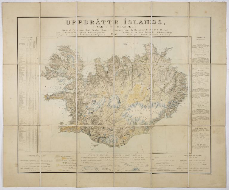
Olsen made a smaller map with the same title which was published in 1850 (although it is dated 1849). Both of these maps are variously credited to Björn and to Olsen, or to them both. It can be difficult to determine a single author of a map and it is rarely a fair outcome. It does, however, sound correct to credit both men for the map in this case. The work that Björn did was monumental, but there was still a lot for Olsen to do to put everything into a single map.