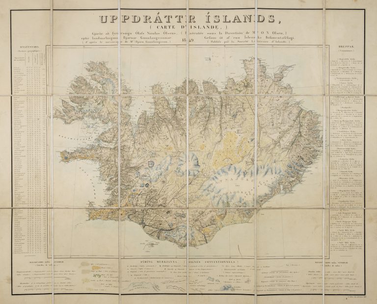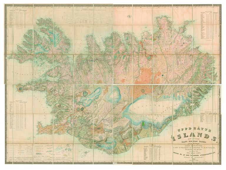
In the years 1831–43, Björn Gunnlaugsson surveyed the interior of Iceland. He also used the existing work as a starting point and travelled extensively throughout most of the country. In some cases, however, particularly in the highlands, he had to rely on the descriptions of people who knew the area. Olaf Nikolas Olsen was given the task of making maps out of Björn’s work.
This is the second and smaller map which Olsen made.
It does sound correct to credit both men for the map.