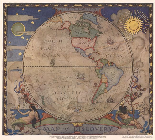
A map done by the National Geographic Society in 1928 in the style of the sixteenth century mapmakers, but showing contemporary boundaries. Another map shows the Eastern Hemisphere.
Western Hemisphere
YEAR 1928
Technical data

World
1928
National Geographic Society
40,4 x 46 cm.